Fall’s best hikes for seeing the colours
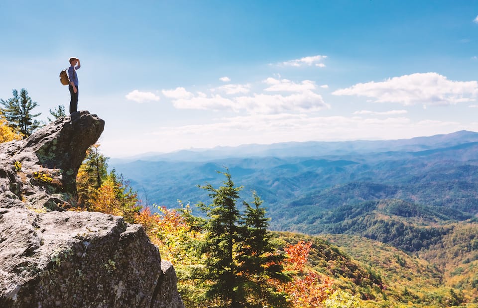
Autumn in the Laurentians at its best
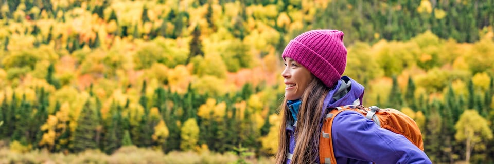
Fall is one of the best times of year for walking in the forest. Nature dons its most beautiful finery and the air provides an incomparable hit of oxygen. So…where to go to get the most pleasure from the magnificent landscape arrayed in its richest hues?
TREMBLANT: THE HIGHEST SUMMIT IN THE LAURENTIANS
There are eleven hiking trails providing a level of difficulty appropriate for every level of walker and allowing a special foray into the beauty of the mountain.
Easy
To start with, we suggest the Ruisseautrail, which makes a 2-km loop along mountain streams (45 – 60 min.).
Moderate
The 360˚: A 2.5-km loop with panoramic views of all sides (45 – 60 min.).
Les Sommets:A 1.4-km one-way trek that will take you to the top at Pic Edge (1.5 hours +).
Demanding
Tremblant offers eight “demanding” trails. They’ll give your legs quite a workout prior to snow season. The most popular appears to beLes Caps: A 3.5-km one-way trek from base to the summit. Access is via the Ruisseau trail (1.5 – 2 h).
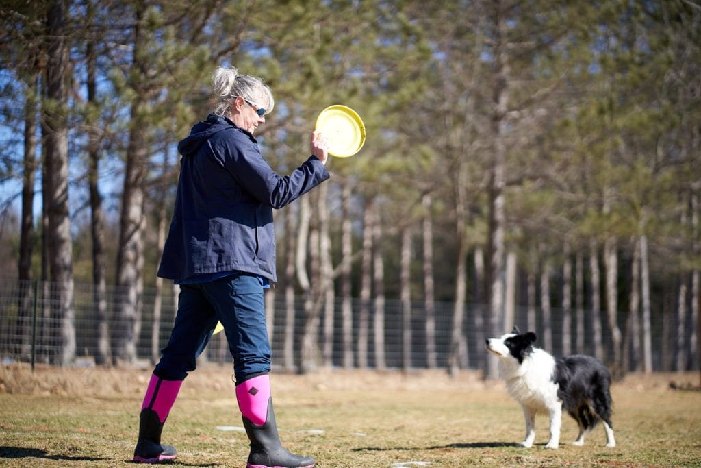
Note that dogs are welcome in the pedestrian village but are prohibited on the trails. tremblant.ca
PARC NATIONAL DU MONT-TREMBLANT
Secteur de la Diable
Québec’s oldest parc nationalis a favourite of the province’s hikers. One trial we are told is a good bet is La Roche,5.4 km (both ways). The level of difficulty is moderate, and it provides fabulous views. For a longer hike, it can easily be combined with the trail La Coulée and the trailLa Corniche. Looking for thrills? The via ferrata will provide you with an unequalled view of the colours. Sepaq.com
DOMAINE SAINT-BERNARD
With its 1500 protected acres of nature, Domaine Saint-Bernard offers more than 28 km of trails in an amazing setting. For the first time, there’s a pilot project featuring a dog trail two kilometres in length; it will open on October 7. (See page 19)
Easy
The trail A4/La Mennaismakes a circuit around lac Reynaud. It’s 1.6 km in length and can even be traveled with a baby stroller (30 minutes).
Intermediate
The A1/Grande-Alléecombined with the A3/Contre-Courant: provides a view of the Diable river. This is considered to be an intermediate trail because of its length (6.7 km), rather that its level of difficulty (2 h).
Difficult
TheR8/Mont Onontio:a 5.1-km loop that provides two magnificent lookouts, including one with a view of lac Tremblant, the mountain and its pedestrian village (2h).
MONTAGNE VERTE
A rocky massif on the south side of lac Tremblant, the montagne Verte (“green mountain”) provides several breathtaking viewpoints of the lake and Mont Tremblant. Considered moderate to extreme, the hike is a bit rough, but accessible to many. Do wear good hiking shoes or boots. This is a 5.2-km loop (3 – 4 h). Dogs are accepted on a leash. The hike can be extended by going to nez de l’indien, for a total of 13 km.
Chemin du Lac Baptiste, Labelle.


Guillaume Vincent432 Posts
Rédacteur et journaliste de profession, Guillaume Vincent a fait ses armes au sein de l’agence QMI. Il s’est joint au Tremblant Express en 2014. Promu en 2017, il y assume depuis le rôle de rédacteur en chef et directeur de la publication. / A writer and photojournalist by profession, Guillaume Vincent won his stripes in the QMI agency. He joined Tremblant Express in 2014. Promoted in 2017, he has been editor-in-chief and co-publisher since then.


0 Comments